How can Fleet Tracking with Sitehound Mapping & GIS help your business?

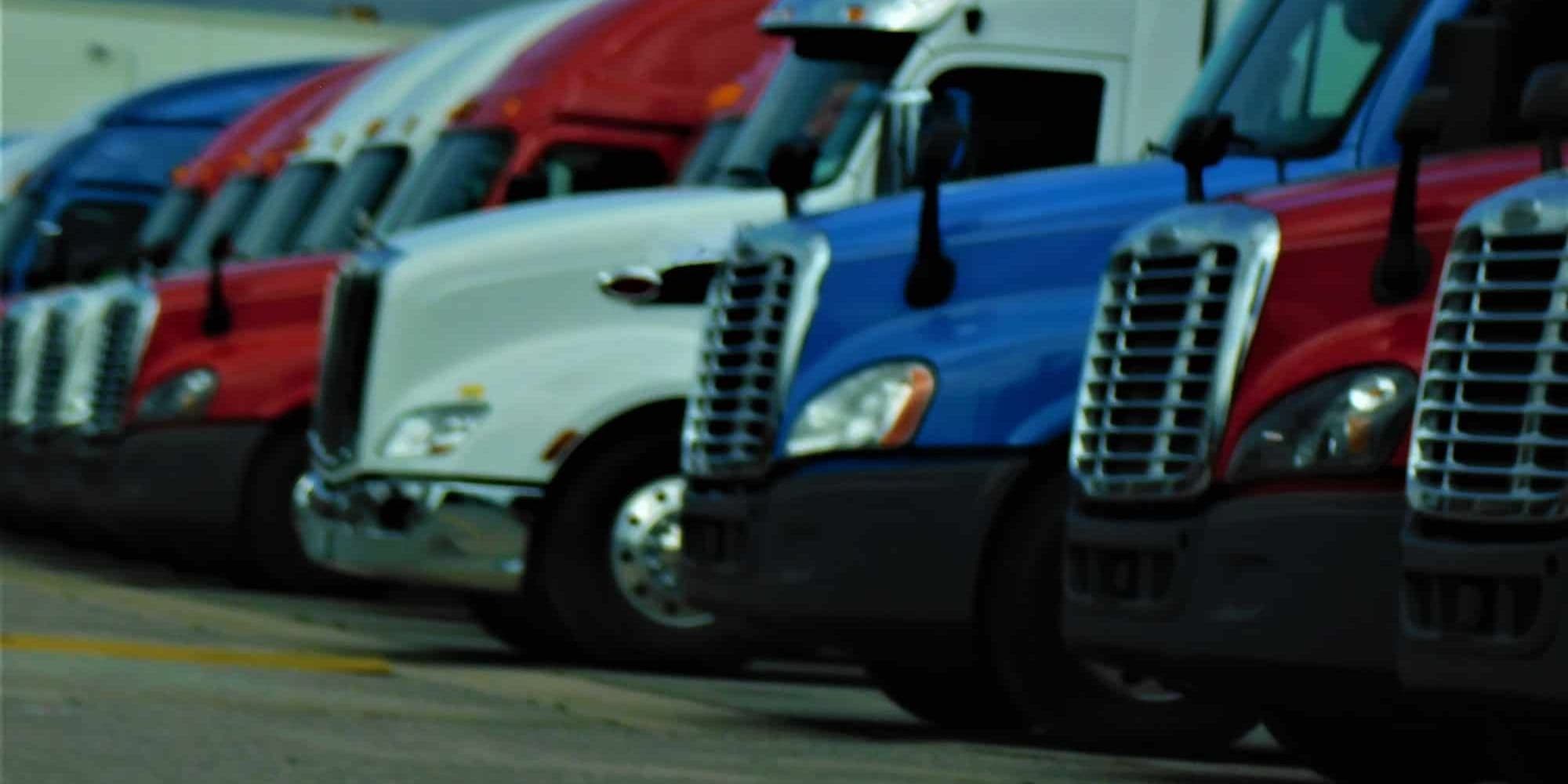
If you manage a fleet of vehicles, you know how important it is to keep track of them at all times. With Sitehound Mapping & GIS, you can do just that – and more! Read on to find out how this powerful tool can help your business.
What is fleet tracking?
Fleet tracking is the process of using GPS technology to track the location and movements of commercial vehicles. This information when used can improve fleet management and operations, as well as provide valuable data for businesses that rely on vehicle transportation.
Sitehound Mapping & GIS is a web-based application that provides real-time fleet tracking and location information. It uses GPS technology to track vehicles in real-time, providing businesses with up-to-date information on the whereabouts of their vehicles. This can be extremely useful for businesses that need to keep track of their fleet for operational or safety purposes.
Sitehound Mapping & GIS also offers a range of other features that when used can improve fleet management, such as vehicle performance monitoring, route planning, and maintenance scheduling. These features can all help businesses to save time and money, as well as improve the efficiency of their operations.
How can fleet tracking help your business?
If you have a business that relies on a fleet of vehicles, then you know how important it is to keep track of your vehicles. Fleet tracking can help you do just that. With Sitehound Mapping & GIS, you can see where your vehicles are at all times, and you can even set up alerts to let you know if a vehicle goes off course. This can help you keep your business running smoothly, and it can also help you save money on fuel and other expenses.
What are the benefits of using Sitehound Mapping & GIS for fleet tracking?
There are many benefits to using Sitehound Mapping & GIS for fleet tracking. By tracking your fleet, you can optimize routes, reduce fuel costs, and improve customer service. In addition, you can use Sitehound Mapping & GIS to monitor vehicle maintenance and warranty information to improve safety.
How to get started with Sitehound Mapping & GIS
If you’re looking to get started with fleet tracking, Sitehound Mapping & GIS is a great option. Here’s a quick rundown of how it works and what it can do for your business.
Sitehound Mapping & GIS is a web-based application that uses GPS to track the location of your vehicles in real-time. This information is then displayed on a map, so you can see where your fleet is at all times.
There are many benefits to using Sitehound Mapping & GIS for fleet tracking. For one, it can help you improve the efficiency of your operations by reducing fuel costs and travel time. Additionally, it can help you keep track of your vehicles if they’re stolen or involved in an accident.
Learn More
If you manage a fleet of vehicles, it’s important to have a reliable way to track their location and monitor their activity. Sitehound Mapping & GIS is a powerful fleet tracking solution that can help you do just that. With Sitehound Mapping & GIS, you can see real-time data on your fleet’s location, speed, and more, so you can make sure they’re always on the right track. Contact us today to learn more about how Sitehound Mapping & GIS can benefit your business fleet management needs.
Learn more about how your business can benefit from geofencing.


